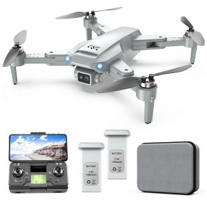
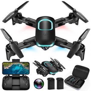
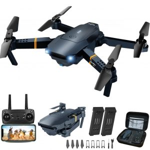
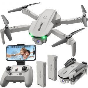
1 × $153.49
1 × $83.49
1 × $55.49
1 × $78.49
Subtotal: $440.45
It’s ready for work as soon as it’s powered on and can collect point cloud data from a 2.5km² area in a single flight. [2]

L2 reaches a detection range of up to 250 m (10% reflectivity, 100 klx) and 450 m (50% reflectivity, 0 klx). [3] The standard operational altitude now extends up to 120 meters.

With a spot size of 4×12 cm at 100m, only a fifth of that of L1, L2 not only detects smaller objects and delivers more detailed models, but can generate DEM.

Generate a standard-format 3D point cloud model with just a click, as well as a DEM. Point cloud quality can also be analyzed in DJI Terra.


